Priit Raudla

Trek day 1/5 · Wednesday, 21 October 2026

Ghandruk → Tadapani

  • 6.43 km
  • ↑ 720 m
  • ↓ 49 m

4 h 18 min total · 1 h 56 min moving

“How far we can see, where to go, how far and why: these questions are eternal.”

We rode two hours by bus out of Pokhara, then stopped for the trekking permits. You could already feel the mountains and the crisp air. Instead of jeeps, we all rode together in one bigger bus. The porters ate greasy pastries and crisps on the bus. As someone who believes in healthy eating, I watched and wondered.

The Modi Khola bridge at Nayapul, 21 October, 09:30. Photo: Priit Raudla · on the map (opens in a new tab)

On the trail

After a bumpy ride on a road that barely existed, in a bus with suspension to match, we reached the start. We walked for ten minutes and took the first break, because it was lunchtime. There were many of us and few cooks, so we had to wait. It was worth it. Fed and fuelled, we were ready to go.

I can’t walk slowly, so I went at my own pace.

Stone steps above Ghandruk, 21 October, 13:52, 2,109 m. Photo: Priit Raudla · on the map (opens in a new tab)
Forest below Tadapani, 21 October, 14:29, 2,290 m. Photo: Priit Raudla · on the map (opens in a new tab)

“The trail felt a lot like the climb and the forest on La Gomera, in the Canaries.”

After two hours of climbing I reached the halfway stop. While waiting for the others I could look through my photos and enjoy the moment. No mountains, though: the fog was thick.

Tadapani, 21 October, 15:36, 2,671 m. Photo: Priit Raudla · on the map (opens in a new tab)
The Tadapani lodge, 21 October, 17:41. Photo: Priit Raudla · on the map (opens in a new tab)
In the evening the mist lifted from the mountains for a moment, 21 October, 17:53. Photo: Priit Raudla · on the map (opens in a new tab)

Night in Tadapani

At night, while I rested in bed for the sunrise, my roommate Ivo went out to take photos. It turns out you can get beautiful shots at night too. Thanks to the cameraman, whose schedule is different and who was in the right place at the right time.
The day in numbers

Distance
6.43 km
Ascent
+720 m
Descent
−49 m
Time
total 4 h 18 min
moving 1 h 56 min
Heart rate, avg / max
123 / 159
Night
Tadapani 2,671 m
sleep 7 h 38 min
resting HR 58

Measured: Garmin Fenix 7 Pro Solar

Weather

Sky
cloud cover 30–54%, light drizzle at midday
On the trail
14–19 °C
Wind
up to 8 km/h, gusts 37 km/h
Humidity
54–64%
Night in Tadapani
min 6 °C

Source: European weather-model archive (ECMWF), at trail elevation

Trail

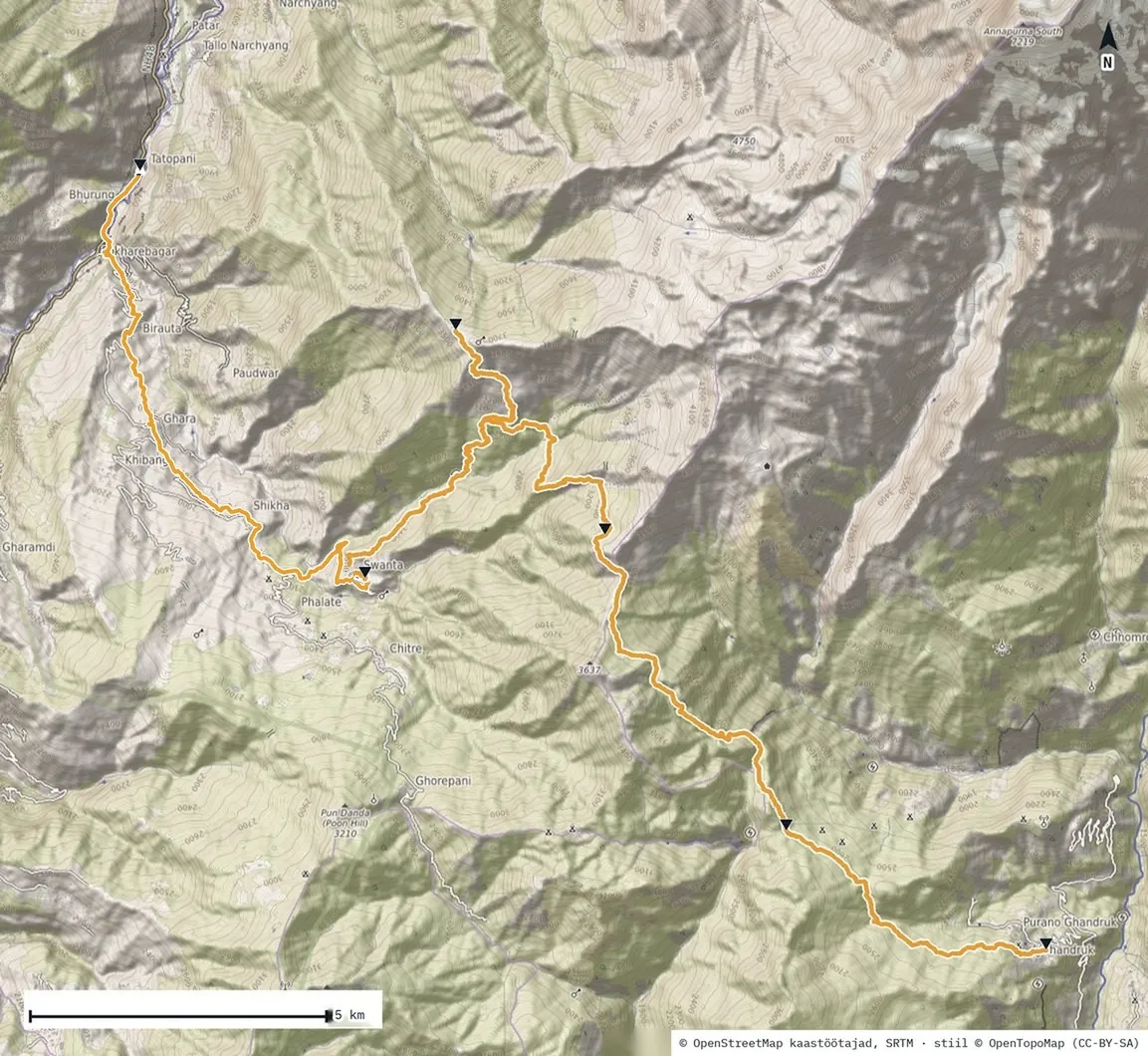
Trail from Garmin
The day’s route as a 3D video · Relive
Ghandruk · 1,983 m
0 kmTadapani · 2,671 m · 6.43 km

Practical

Lodging
Tadapani teahouse
Ghandruk and the Gurkhas

Ghandruk is a village of the Gurung, one of Nepal’s hill peoples. Since 1815 Gurungs have been recruited into the British Army as Gurkhas. Ghandruk is known as a strong Gurkha village; the most senior Nepali Gurkha officer in the British Army comes from here. New recruits take their oath in Pokhara: 274 young people in February 2025. Gurkhas got the same pay as British soldiers only in 2007.

Lali gurans

The tree rhododendron, lali gurans, has been Nepal’s national flower since 1962. It blooms from February to May; in October the forest is just green. Nepal has about 32 rhododendron species, and the tree can reach 30 metres. The pollen of some species is poisonous and so is the honey, which is why honey is gathered only after flowering.

Gear

What I wore and carried: gear page →

Sources

All sources for the trip → Glossary →