Morning in Tadapani
At five in the morning the first thing I did was check my watch. The Fenix had tracked my heart rate, heart rate variability, breathing and skin temperature all night. Verdict: “1 outlier”, breathing. Asleep, I averaged 16.9 breaths a minute; the watch thinks my normal range is 12.7–16.5. The weekly graph shows the number climbing along with us: about 14 on 16 October, nearly 17 today.
Nothing scary about it, the body is simply doing its job. At 2,700 metres the air pressure is about a quarter lower than at sea level, at home in Viljandi. Each breath brings less oxygen into the lungs, so the body breathes faster. The watch’s normal range, though, is based on months lived near sea level. Everything else was calm: resting heart rate 61, heart-rate variability (HRV) 42 ms, skin temperature just +0.3° off normal.
The climb
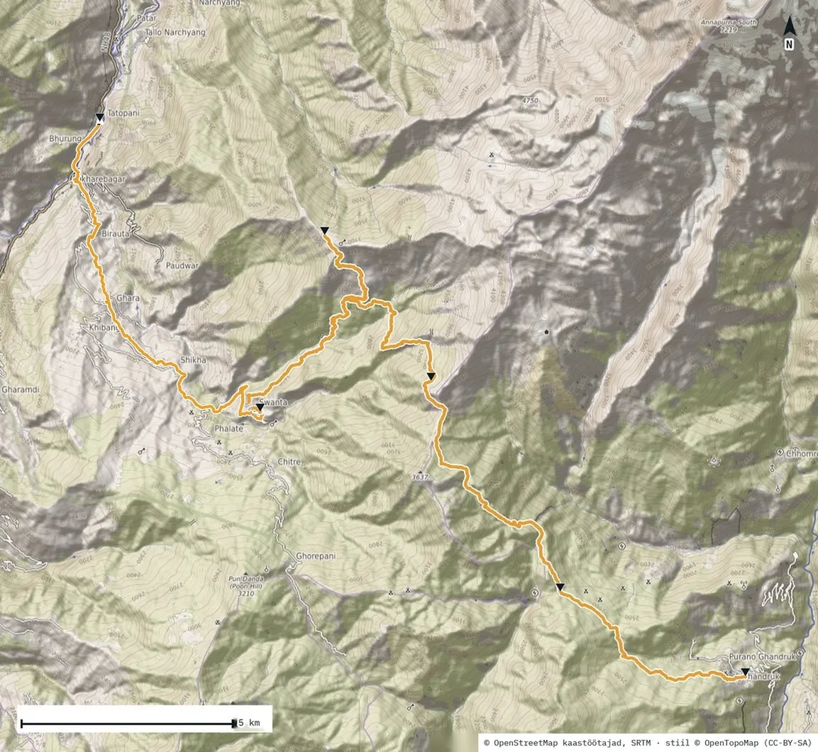
Today’s first climb went nowhere but up, sometimes through forest, sometimes with open views. I’m used to moving and not standing around much, so I set my own pace and reached the halfway stop well ahead of the others.
Locals were waiting there, doing their laundry and herding small children. Very polite. I asked if they live here all year round. Yes. And is there snow in winter? Very little. I just watched them, and peace settled in.
“Time stops here. You deal with the things that really matter.”
I took my sweaty shirt off straight away and hung it in the wind and sun to dry, to put back on later. While waiting for the others I put on my long-sleeved Abisko fleece and a light blue windbreaker. Up there the wind is the kind that chills you once you stop.
The climb went on and so did the wind, so I had to pull my hood up. The wonderful thing is that at 3,400 metres there are still trees and plants. And ravens, as if waiting for someone to give them something or sacrifice themselves, like in The Lord of the Rings or Game of Thrones. At one spot the PeakFinder app couldn’t identify the mountains: there were just too many of them, packed too close together.
The Bayeli Kharka teahouse
The teahouse was spartan. That is exactly what I came looking for: to understand how good we really have it at home, and that the little everyday things that bother us aren’t worth worrying about. There was electricity, even wifi, which for people today is something like a human right.
In the evening the mountain showed its night face. The temperature dropped and we had to bring out our best gear for sleeping. I wore warm merino base layers with Rab trousers and the Abisko fleece on top, then crawled into a silk liner and a Simond MT500 sleeping bag (rated to 0 °C). At first my shoulders and arms were a little cold, but only for a moment. The night was just right and I slept well.
Before going to sleep I got one more photo of Dhaulagiri, the seventh highest mountain in the world (8,167 m). Under its watchful eye it felt safe to sleep.